Apr
19
2009
Erin and I took off early on Saturday morning:
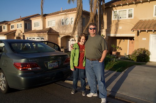
to get to our first stop, Las Vegas! This was Erin’s first time so I wanted to make sure she saw the most important part, Barry Manilow!
Ok, not really – our goal was the Blue Man Group but first we needed to get a good meal. I looked out the window of our hotel and saw the Peppermill, a great place my buddy TJ intruduced me to on my last LV visit. Erin was impressed with the very colorful sugar:

Ok, so was I:

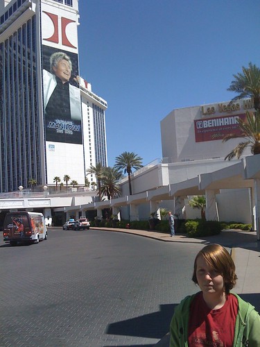
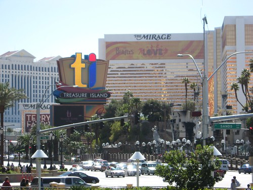
Next, we walked (and walked and walked) the Strip:

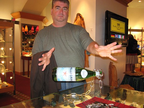
Caught some amazing magic:
Then finally saw the men of blue:
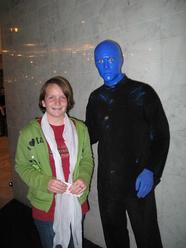
When I took Nathan to this show a few years ago, I neglected to bring a camera, so we missed this shot…
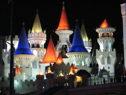
Erin really wanted to see the Excalibur, so we hoofed it down the Strip again after the show and she scored a nice image:
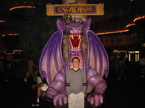
Sadly, the dragon statue is gone now. A guard told us that it was breaking down and they couldn’t get parts. I blame the IT department, or this Emo kid:
Apr
13
2009
Erin and I took a road trip from San Diego to Denver and back. I’ll post more as I get the pictures edited, but here’s the initial map:
View Larger Map
Mar
15
2009
I turned on Instamapper as I was about to bike the Silver Strand:
GPS tracking powered by InstaMapper.com
I need to play with it more… I KNOW I went over 11 mph 😉 Not sure why there are so few data points. The phone was in my saddle bag, under the metal seat, and the big rider – so maybe that’s it 😉
May
12
2008
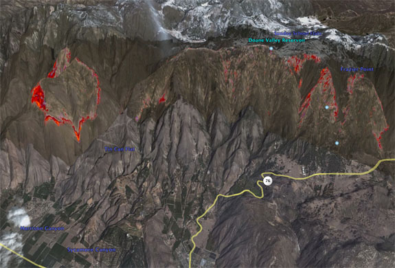
Here’s a very cool video about KPBS and the fire map they created during the October 2007 wildfires:
[youtube]http://www.youtube.com/watch?v=y7y4MlYNBTI[/youtube]
Oct
26
2007
This NASA site has a great write up of the progression of the smoke as seen from space.
http://www.nasa.gov/vision/earth/lookingatearth/socal_wildfires_oct07.html
Here are a couple of images of the smoke starting to swirl back to us as the Westbound Santa Ana winds die off and the normal on shore winds kick back in:
This one from the NASA site above:

This one from The Weather Channel:

Oct
23
2007
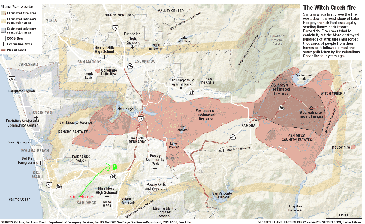
From signonsandiego.com
Compare to 2003 fires: